Saltillo To San Miguel De Allende 0

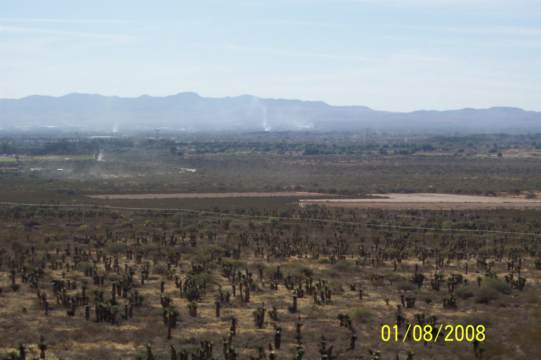
We left our Hotel in Saltillo around 10:30 a.m. after a light breakfast and drove out of Saltillo to the toll road heading south.  Like yesterday the road varied from excellent to rough and oily.  Lots of odd trees growing sparsely on the pastures on either side of the road – maybe they are Joshua Trees?

It was cold when we started and so we stopped to put on sweaters under our mesh jackets.  We then started up into the mountains and Pam had to stop again and put on her electric vest and second jacket as well.  It warmed up in the afternoon but we left the extra layers on.  We crossed several passes and were on the altiplano at approximately 7000 feet, the air remained cooler than in the lowlands.

We witnessed a couple of dust devils that were much stronger than we had ever seen before.  They were throwing large tumbleweeds and other debris high into the air.  One passed directly in our path, the other traffic came to a halt but we drove on through it without incident.  We became pretty adept ducking from tumbleweeds on our cross country ride last winter on the Goldwing.

The scenery morphed throughout the day with the vegetation becoming greener and thicker as we headed south.

We stopped for coffee and a quick bite at a truck stop, and then continued on to San Miguel de Allende.

San Miguel

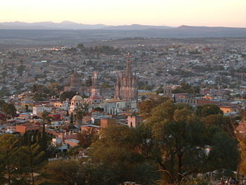
This is a beautiful colonial style town, founded in 1546 that sits on a hill with cobblestone streets, vistas of the lake lots of stone work and old churches.  It was very difficult driving in as we crossed endless topes (speed bumps) and the cobblestones, steep hills and heavy traffic made it tough going.

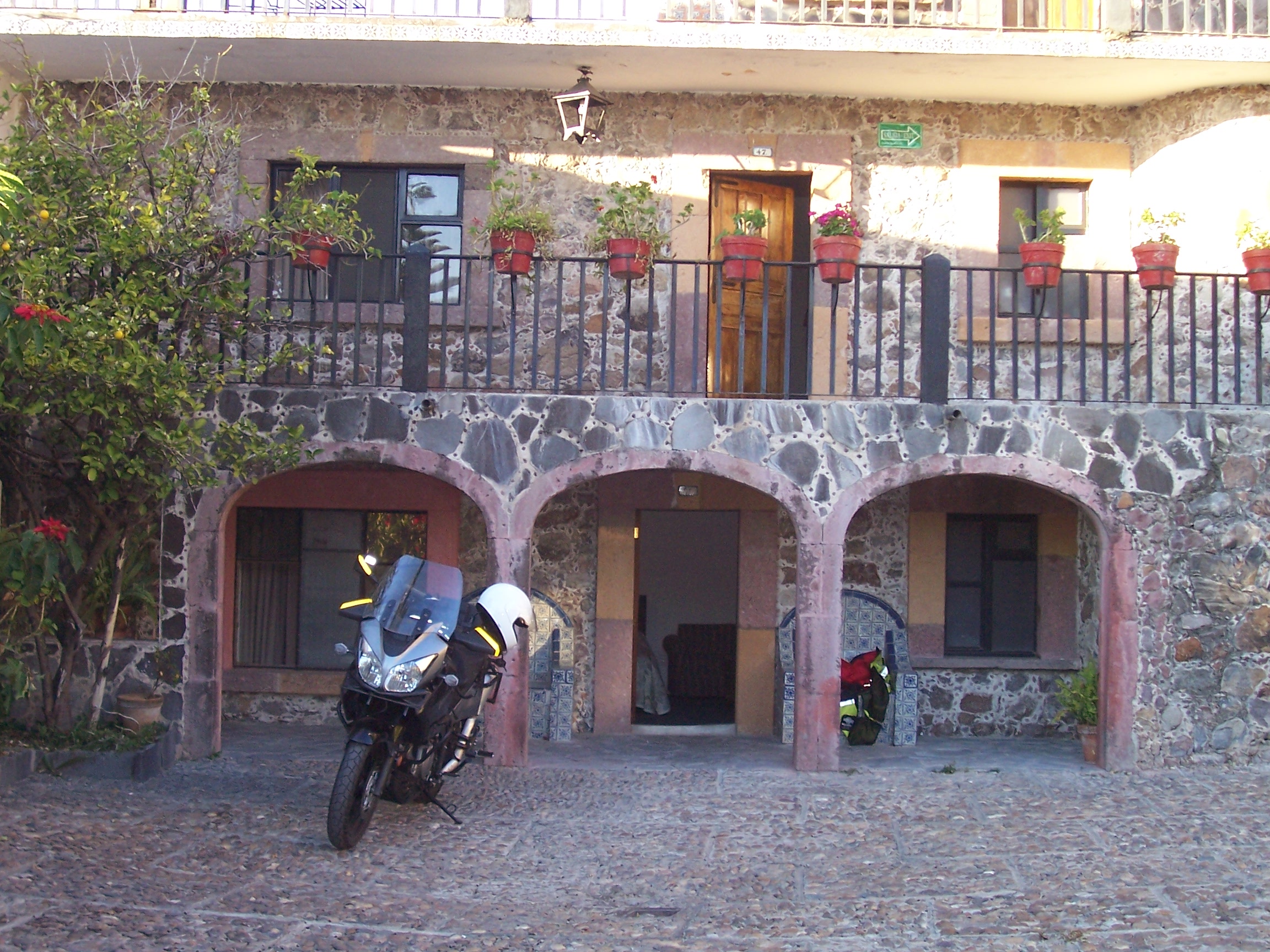
We have found a great hotel, Posada de las Monjas right near the central plaza.  It’s an old convent from the 1600′s, made of stone and with wonderful little stairs, walkways and alcoves everywhere.  A small door opens to the busy street and you can drive into a central courtyard for parking.  We have a large room on the ground floor opening to the inner courtyard the parking area where we can park the bike right out of our window.

Bike In front of tonight’s room

Currently we seem to be in the midst of a poetry convention.  Lot’s of foreigners in town, which is beautiful – we walked up to the central plaza and looked in on the churches and the other neat old buildings.

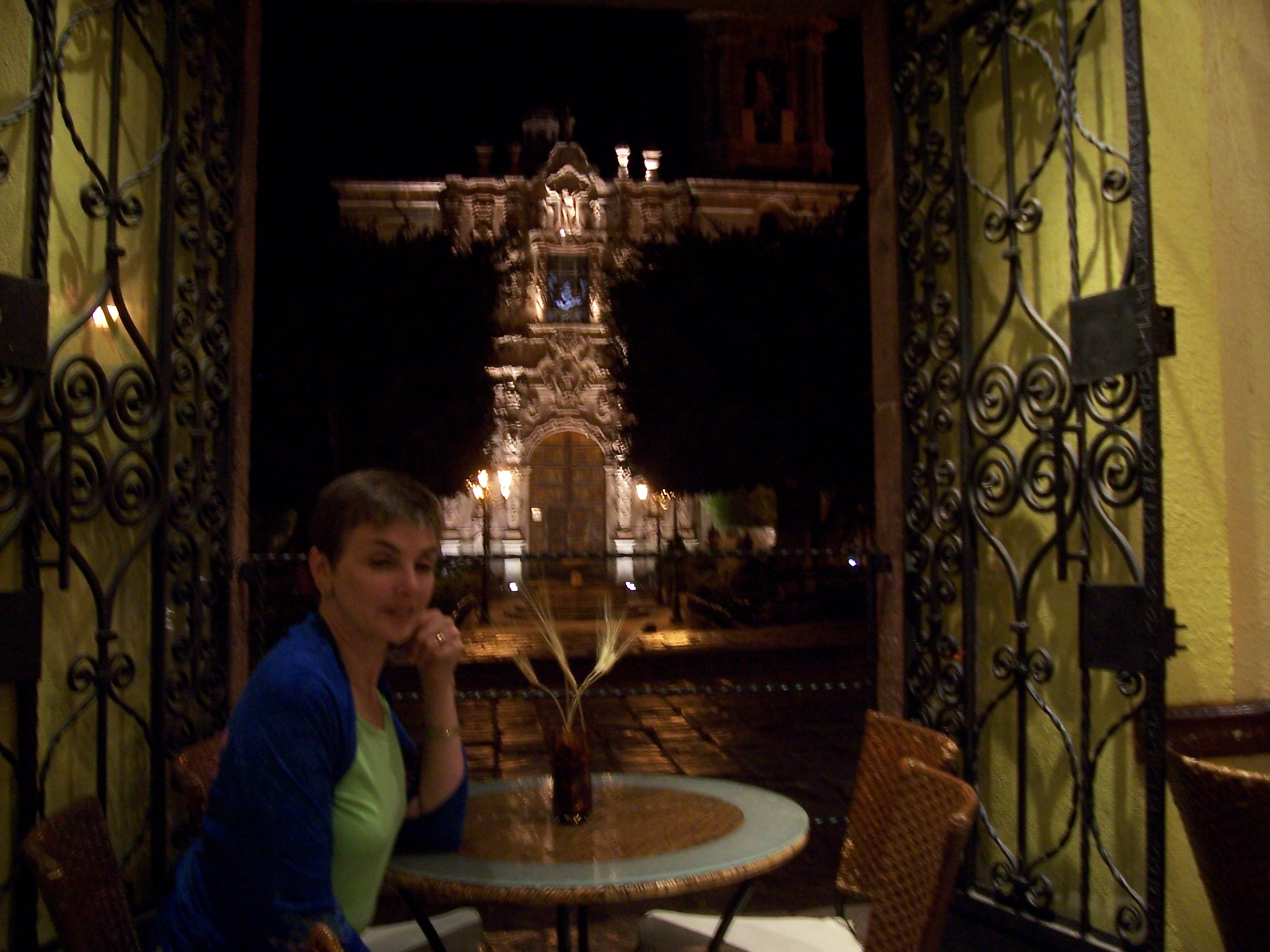
We celebrated Pam’s birthday with a wonderful dinner at a small cafe across from one of the many old churches.

San Miguel to Puebla, Mexico 0

Click Here For Today’s Photos

We left our beautiful hotel and continued down the ancient cobblestone street to the edge of town.  After a few wrong turns, we got pointed in the right direction for Queretero, on the way to Mexico City.  As you leave San Miguel de Allende, there is a viewpoint where you can look back over the city and see all the spires and the red and ocher colors of the stonework.  It is one of the most beautiful small cities we have ever seen.

We rode east on a two-lane highway 111 to intersect the toll way Mexico 57 which heads south to Mexico City.  It was a nice ride along the road to Queretero with farmland and herds of goats and cattle.  We have noticed haystacks in the fields, built the old-fashioned way in shocks.  The land is both very green and gold, and there are lots of eucalyptus trees and other in straight lines along the roadside.  We stopped for gas, coffee and donuts at a Pemex station and set out for Puebla, southeast of Mexico City.

It was a beautiful day and we didn’t need sweaters or electric vests.  Pam has found that her Frogg Togg jacket (rain gear) under her mesh jacket provides enough windbreak to be comfortable.

It was an excellent fast ride over progressively improving roads until we reached Mexico City.  We could tell we getting closer to the city by the change in the air – the smog can be seen from 50 miles away.  We had thought there was a bypass around the city to get to Puebla, but we saw no signs and when we asked the next tollbooth operator he said we had missed it 14 km back.  Dave decided to go for it though Mexico City, so on we went!

We were making pretty good time, not as bad as I had thought it would be.  We had only traveled about 8 km when we were chased down by a couple of motorcycle policemen.  They waived us to follow them and took the next exit and found a safe place to pull over.  Keep in mind there were three lanes of bumper-to-bumper traffic moving right along and they chose us.  First they tried to tell us that we were driving in the city on the wrong day (to reduce the smog, cars in Mexico City are only allowed to drive on certain days determined by the number on their license plate.)  He then asked for Dave’s license, and pronounced it a fake (which it was).  We played dumb and spoke only English not a word of Spanish.  A Good Samaritan, Raul, happened by and assisted us by translating – though we understood every word and knew the entire time that this was an official shakedown for bribe money.  The figure of $50 was mentioned and I explained that we were poor and that was way too much.  Dave had a $20 bill out but for some reason they got spooked and just let us go minus the official looking photocopy of Dave’s license.  At the end we gave the police and Raul copies of our cards and exchanged email addresses with Raul who we hope to meet again.

After that incident, we drove straight through the middle of the city, passing many of the landmarks we knew from working here 25 years ago.

Mexico is a very nice city in spite of the crowds and the smog, and has become even more upscale since we were here.  Raul had given us great directions, and we soon found ourselves on the right road to Puebla, going right through Chapultapec Park.

The traffic was awful, stop and go and bumper-to-bumper but it finally thinned out as we left the city.  Once outside city limits, we began to climb the mountain and had fabulous views of the two volcanoes, El Popocatepetl and Iztaccihuatl.  We took several pictures at a roadside stops – the scenery was gorgeous.

The autopista is excellent here and though there are many curves, they are cambered, smooth and well marked.  We climbed to the pass looking for an altitude sign, but there was none – but there was a national forest park and it got cold.  All the way up the hillside we went through beautiful pine forests that smelled heavenly, and once in a while you got a whiff of someone burning pitch pine logs.  It was wonderful and about as different as you can get from Mexico City.

Coming down the other side, the land flattens out into a wide plain, starting as farmland and becoming more industrial as we got closer to Puebla.  We passed (and passed, and passed, and passed) the Volkswagen factory – it is HUGE.  There are lots of other commercial industrial giants in this area.  We decided to go downtown to the old Centro to look for a hotel even though it meant a longer drive.

We find that there is so much more to do and see, and we get a real feel for the culture of the place when we get in town.  Puebla was no exception.  It is a big city and very busy, yet the old center has fabulous old buildings and architecture from 200 years ago.

We passed what looked like a nice older hotel with indoor courtyard parking, the local attendant ushered us in.  After stopping, we realized this was a restaurant, not a hotel, though it looked like a good one.  We asked the attendant for a good recommendation for a hotel and he sent us to one just two blocks away.  We continued on to the Hotel Aristos on the corner of Avenida Reforma and Calle 7 Sur.  The rooms are large, clean, and shabby chic; there is an impressive lobby, a restaurant, and the Buddha Bar disco and lounge.  The staff is very attentive, and they have wireless Internet and secure parking for the bike all very reasonable.  While checking in, we got into conversation with Rodolfo Sanchez a local sports broadcaster and host of “Alta Velocidad” a radio and television show on motorcar and motorcycle racing.  After hearing about our trip, he wants to interview us for his program before he leaves for Mexico City.

We brought in the bags, took quick showers, and changed for dinner, and walked back to the restaurant where we had stopped before, Fonda de Santa Clara, located in the Centro at Calle 3 Poniente 307.  The food was typical Poblano (Puebla style), and was excellent. Dave had the classic pollo in mole Poblano (chicken in mole Poblano sauce), while Pam had a combination dish of enchiladas with red mole, green mole and poblano mole – all excellent.

This was a fabulous dinner which probably could not be had anywhere else in the world and it was very economical.

We strolled back to the hotel via a large plaza, across the street from the beautiful Cathedral Of Puebla lit up with neon blue lights in the twin steeples.

We will try to get some good pictures of the local architectures tomorrow in the daylight.
Puebla To Acayucan 0

Click Here To View Today’s Photos

Our departure from the Hotel Aristos was preceded by a radio interview conducted by our new friend Rodolfo Sanchez Noya of “Alta Velocidad”.  It must have sounded very authentic as we were on the street with lots of traffic in the background.  Rodolfo asked several questions about our trip which Dave answered (in fluent Spanish of course), and Rodolfo described the bike for the radio audience.  It was very brief, only about 5 minutes, and will be aired on Rodolfo’s radio program in the next few days.  As we wrapped up, the Medical Director of the upcoming World Touring Car Championship, Dr. Jorge Breton and the Director General of the sponsoring organization met with us and provided a grand send off.  We were presented with official baseball caps bearing the logo of next year’s world championship to be held in Mexico.  Very cool!

Interview For Alta Velocidad

We packed our caps, said goodbye and after a few photos headed out of Puebla.  We drove through the beautiful Cinco de Mayo Plaza, which is a large plaza and park with street cafes lining the sidewalks and the Basilica of Puebla in the center of it all.  It was hard to get good pictures because of the traffic, but we got a few.

Getting from there back to the autopista took some doing because as usual the signs were not well marked.  We finally found the on-ramp to Orizaba and Veracruz  having only made only one wrong turn in the process, we are getting better.

The GPS has very limited detail down here and most of the time is not very helpful.  It has the big picture but off of the main roads it is lost.  East of Puebla it is mostly small farms, we saw several instances of farmers plowing using a horse and plow.  The land itself is a gold and tan with dried corn stocks and dust – we saw several dirt devils again.  Gradually the landscape turns progressively greener a huge double peaked volcano covered with snow appears just left of our path.

The autopista takes a rapid ascent into the mountains, and as we passed the summit it was like entering another world.  Everything has changed to heavily forested steep mountainsides with the highway winding down perilous curves with steep cliffs and through several tunnels carved from the rock.  It was almost like being in Switzerland.

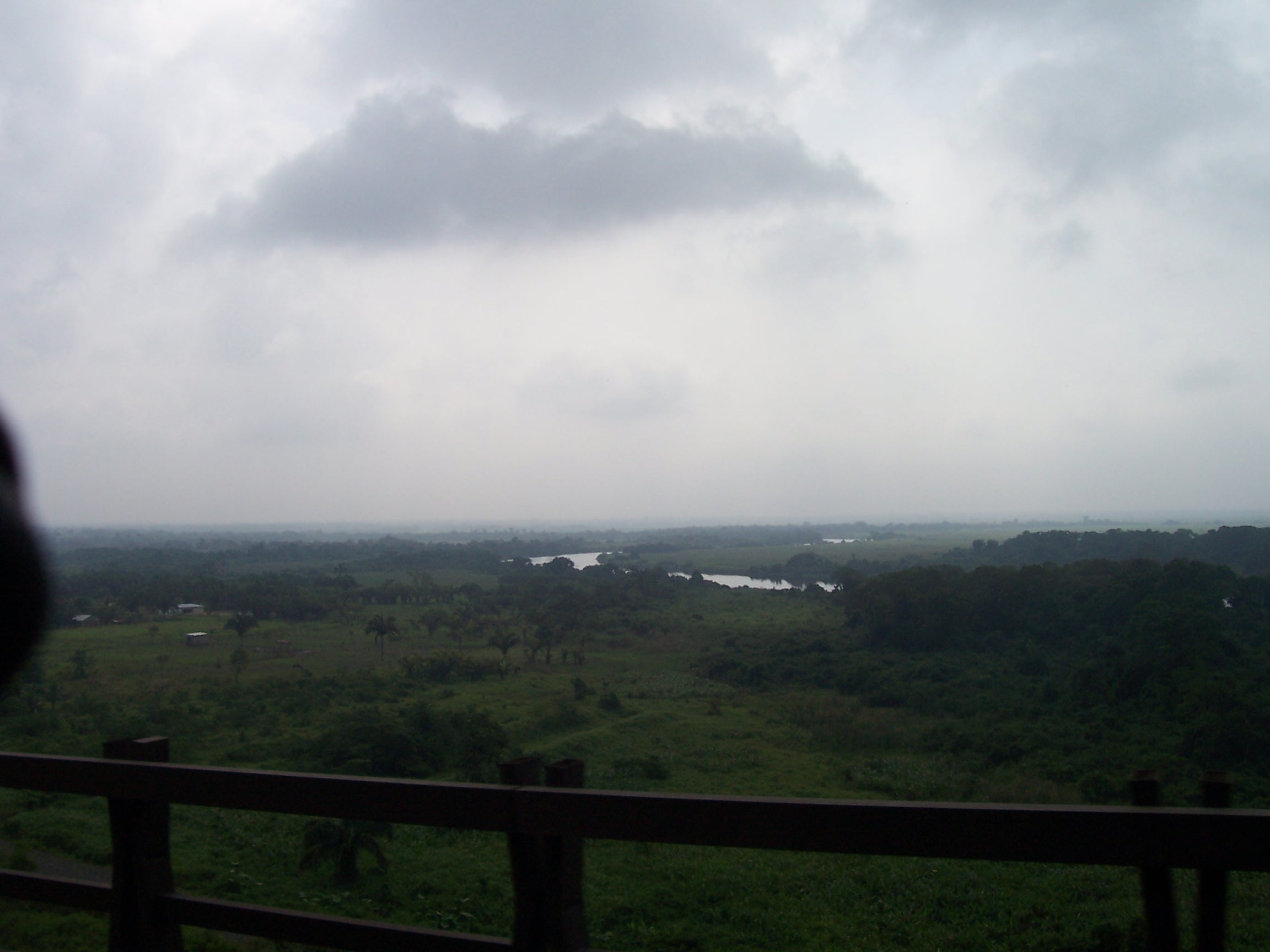
We have decided to take the longer slower route through Palenque in Chiapas rather than stay on the autopista and head straight for Tuxtla and the Guatemalan border.  We should be able to make it to Palenque on Friday, for tonight we will shoot for Acayucan, Veracruz.  Driving through Veracruz the scenery has completely changed once again.  We are now in the tropics.  Everything is lush and green; there are great fields of sugarcane (we saw some being harvested and carried from the field in a horse-drawn cart).

There were lakes, rivers, swampland, and sweeping green hillsides with what appeared to be acacia trees planted in rows as boundaries, lots of cattle and horses too.

We saw a fisherman in a small boat pulling nets in one of the lakes, and there were white egrets everywhere.  One of the pleasures of riding a motorcycle vs. riding in a car is the ability to use all your senses to experience the area you pass through, and we certainly did that today with wonderful smells and changes in the air quality from dry to moist to humid, etc..

As we got closer to Acayucan, we saw pineapple fields and pineapple vendors sitting under almost every overpass selling fresh pineapples and juice.

We found ourselves racing the sun once more, but made it from the highway over some very rough road into downtown Acayucan, which turns out to be a very busy little town.  For 400 pesos we found the Hotel Plaza with secure parking right on the main street across from the central market.  After unloading the bike and freshening up a bit, we took a stroll through town – the market was directly across the street and we had fun exploring all the familiar sights and sounds and smells.  The people here are very friendly and polite, quite a change from Saltillo and other places in the north.  We appear to be the only tourists in town.

We spent some time people watching on the Plaza, and poked our heads in the Church, which was big and white and had lots of wooden statues of various saints and opened onto the Plaza.  There is no wireless at our hotel tonight so we will probably send this report tomorrow.

Dinner was at a small cafe/restaurant where we had “Pinchos”, basically shish kebobs with a Mexican flair.  Dave’s was barbecue steak and Pam’s was chicken with pineapple and coconut.

Click on the link below, select satellite and zoom in and out to see where we are tonight:

Latitude: 17.9488
Longitude: -94.9155
Time in GMT the message was sent: 01/11/2008 00:05:11
http://maps.google.com/maps?f=q&hl=en&geocode=&q=17.9488,-94.9155&ie=UTF8&z=12&om=1

Tomorrow we hope to be off to Palenque.

Acayucan To Palenque 0

It was very foggy when we woke up this morning, so we went back to sleep for awhile.  The fog had lifted by the time we started out, and we followed the rough road back out to the autopista to Villahermosa.  It was overcast and we thought it might rain.  This toll road like the others is a good road, and we have found since leaving Nuevo Laredo that all the toll collectors will accept credit cards, although you will not receive a receipt. You can get all the costs here from the Mexican government website if you know your route.

Don’t believe the signs that tell you only certain booths will accept them; half the time those booths aren’t open anyway.  Just look for the picture of the credit card above the lane. 

When we stopped for coffee we met a couple from Toronto on their way to Merida for a few months.  They said it had been 65 degrees in Toronto last week! 

After crossing a large river and highly engineered bridge we entered into the state of Tabasco.

Crossing Into The State Of Tabasco

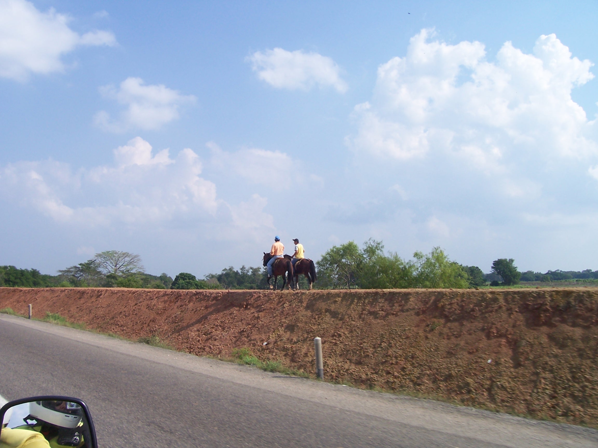
The land along the highway was very green and marshy, with lots of egrets and Great White Herons, and there were many fields of sugar cane.  The autopista took us right through the middle of the city of Villahermosa.  The road here is 4 lanes, but it was very crowded with the huge double tractor-trailers.  There were two separate accidents that backed up traffic, and we had a tough time holding our own in the stop and go traffic, as cars kept trying to squeeze by us in our lane.  Once we were past the accidents we sailed right along.  On the other side of the city you can see the impressive Universidad of the Olmecs from the highway.   Suddenly we were out of the city and back in the marshland, passing several miles of new earthen works that appear to be dikes to hold back the water, we are guessing to replace damage from the hurricanes.

Two Horses On A Dike

For the first time the autopista had 2-way traffic on the last part of the road in Tabasco.  Shortly after we crossed into Chiapas we took a secondary road to Palenque; it wasn’t long before we could see the mountains in the distance, and the farmland became more populated with livestock; we are seeing chickens, turkeys and pigs now along with herds of goats, sheep and cattle, and horses are ranging everywhere.  The road into Palenque passes a modern airport, and the town is very busy, with 63,000 inhabitants and a lot of tourist traffic.

Arriving Into Palenque City 

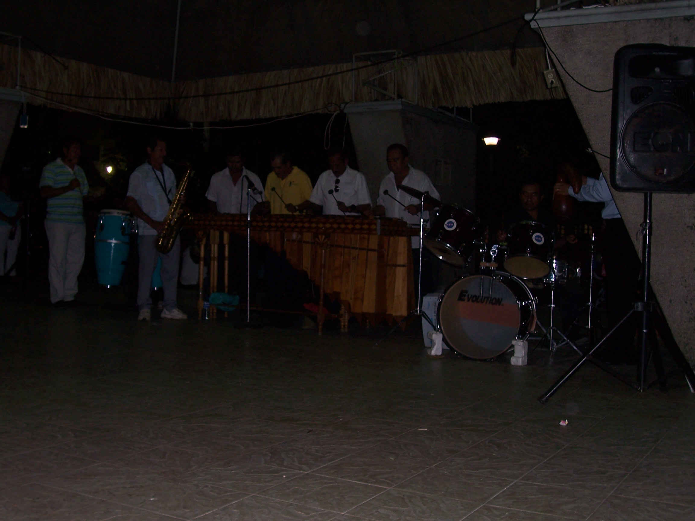
We parked on the street to access hotels, and immediately were approached by two couples from Oregon who had seen our plates.  Dave found us a great room with secure parking for $40 a night at the Hotel Palenque, just off the main square.  It is Friday night, and we can hear the live marimba music playing in the plaza.

The Live Music Outside Our Hotel In the town square

We will spend two nights here, and visit the Mayan ruins of Palenque tomorrow.

Here is where we were Click the link – you can choose satellite or map and zoom in and out.

Latitude: 17.5087
Longitude: -91.98
Nearest Town from unit Location:  Palenque, Mexico
Distance to the nearest town:  2 km(s)
Time in GMT the message was sent: 01/11/2008 22:53:41
http://maps.google.com/maps?f=q&hl=en&geocode=&q=17.5087,-91.98&ie=UTF8&z=12&om=1

Here is our track since Dec 29th – missing some where I forgot to turn on our tracker.

Satelite Track Of Our Journey to Date

Palenque, Chiapas, Mexico 0

We found several Internet cafes last night, and are working hard to keep up our posts.  Pam also did some quick googling on Palenque ruins and was glad later, as it really helped to have some background before visiting the site.

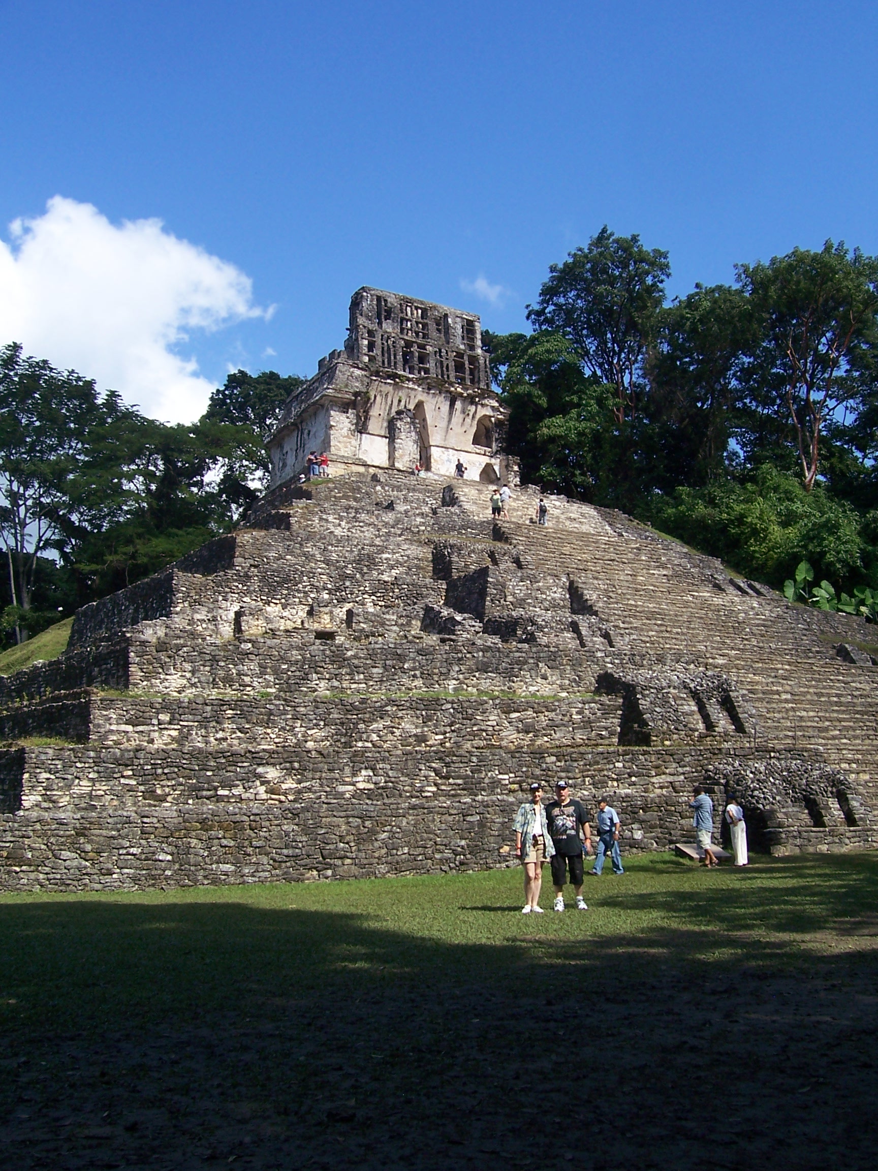
DaveAndPamAmongTheRuins

After a good night’s sleep, we breakfasted at the hotel and rode the bike out to the ruins.  This is a fascinating place, and well worth the trip.

There is an entrance fee to the national park, and another to the ruins;  keep your yellow ticket in case you want to re-enter the grounds later in the day.  You will get lots of offers to watch your bike and to guide you through the ruins; we took advantage of both and were well pleased.

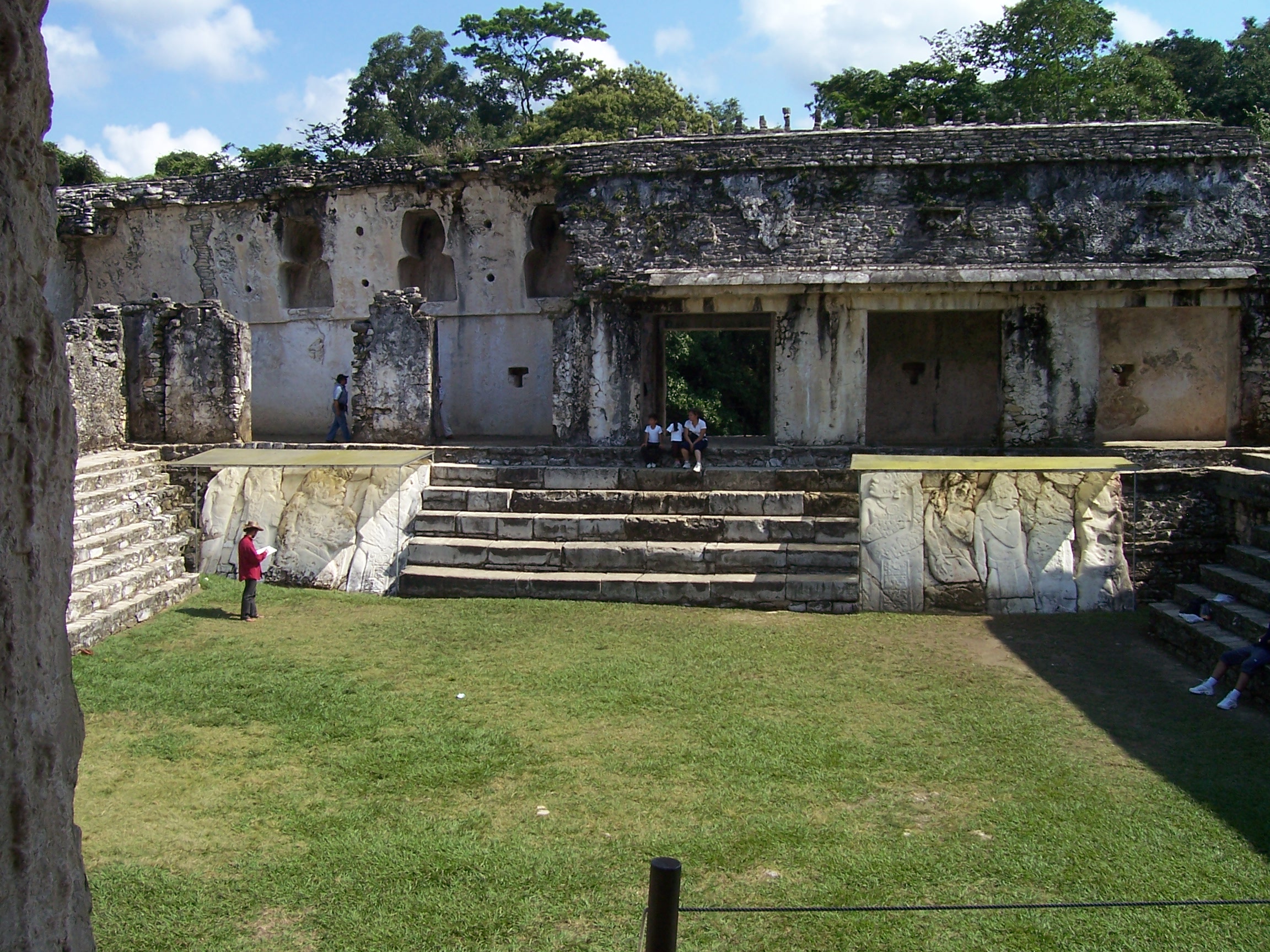
This is the inner courtyard on top of the Royal Palace

Our guide Luis was terrific, he took us to the main points of interest and gave very detailed explanations of the Mayan culture and descriptions of both daily life and the roughly 400 year dynasty that ruled until it abruptly disappeared.

Our guide Luis at the entrance to Palenque

Pictures don’t begin to do it justice, although we have included a few.  Luis had us listen for the Howler Monkeys screaming in the jungle, and pointed out one that was sleeping in a tree.

Howler Monkeys In The Trees At Pa;enque Ruins

A walk down a park trail through the jungle went past gorgeous waterfalls and un-excavated ruins, ultimately leading to the excellent museum facility.

Waterfalls abound in the Palenque Ruins

We returned to the bike and collected our gear from our “watcher” at about 3:00pm.  We drove back to Palenque and then about 25 km out of town to check out one of the secondary roads that we will take tomorrow.  There was lots of weekend traffic, we decided to head back to the hotel and have lunch.We found a great cafe “Comidas Economica Bety ”  that had “comida corrida”,  a fixed price menu ($3.00) from which you choose one of the 5 offerings.Dave had Pozole and Pam had the tongue plate, it was outstanding.

We are packing tonight and will leave tomorrow.

Palenque Mexico to Flores Guatemala 0

FOR SOME PHOTOS FOR TODAY CLICK HERE

We were up early and had a good breakfast at the hotel as we anticipate getting as far today as San Cristobal de las Casas or Comitan, Mexico and then crossing into Guatemala tomorrow.  It was a little overcast to the west but burned off after a couple of hours.  We spoke to the night auditor at the hotel about the best roads out of town.  We were lucky, as this guy knew his roads, other than cab drivers and truck drivers it is sometimes hard to find someone that is knowledgeable.  We learned that there were many roads that were not showing up on our expensive large map, GPS or the Internet.  We got good directions for a back door into Guatemala that probably saved us 1 or 2 days driving.  We followed a series of secondary roads ending up in Tenosique, Tabasco and a few kilometers from there to a primitive boarder crossing at Ceibo.  Our only problem was a large turkey that was guarding his speed bumpand tried to attack us as we rode by.  At Ceibo we were told we could hook up with a new highway being built from Guatemala City to Mexico City.  We found ourselves on good secondary roads going through back country with some beautiful countryside.  This was a really great ride.  We reached our first way point, Tenosique with no problem, but took a wrong turn in the city itself and ended up having to ask directions, to the delight of some locals who got to ask us all about the bike.  Outside Tenosique we encountered a roadblock document check with a very nice policewoman and were passed on with no problem.  Our next stop was El Ceibo at the border between Mexico and Guatemala.  It’s a very odd little place, with several small, numbered motor-tricycles carrying people between the border and the Mexican immigrations checkpoint.  There is a brand new immigration facility not yet opened on the Mexican side, and there appeared to be nothing at all on the Guatemalan side except a poor road under construction.  The Mexican border guards and immigration officers were very nice, we had no problem at all checking out; they told us the road construction was only for the next 21 kilometers, and then it was a good road all the way to Guatemala City.  We crossed the border and looked for something official on the Guatemalan side.  No stamps, no document check, no guard, nothing.  We started down the unpaved road which seemed to be OK at first but quickly went from bad to worse over the next 20 kilometers; some areas were literally under construction, we had to wait for gravel trucks and backhoes to finish before we could pass.  In many places it wasn’t even road, just a track around the work site, and at one point the wet sand was so deep that we bottomed out with our heavy load and Pam had to get off and push the bike to get us through.  Other places we were driving over freshly blasted rock, and other places it had been muddy, machines had made giant ruts and then it dried.  It was tough on man and machine. Today we put the word adventure into adventure travel.  Finally we made it to a dirt road and then the paved road.  If there hadn’t been a small hand-painted sign saying El Ceibo, you would never know our road was there it looked like somebody’s driveway.  The paved road on the Guatemalan side appeared to be again perfect for Riding.

We stopped at the first pop stand to get drinks and the old woman who ran the shop had never seen pesos or dollars before, but she took them on the advice of her granddaughter as I guess at this point we looked really needy and had not changed any money yet.  We spoke to some locals and determined that our destination for today should be Flores.  We had to go back the other way to El Naranjo though to get gas first.  After gassing up at El Naranjo, they took both pesos and dollars but preferred Mexican Pesos, we headed east toward Flores which we wee told was 180 km.  It was a long but beautiful drive to Isla de Flores, although we arrived about 30 minutes after dark.  It seems 2 out of 3 people there drive small motorcycles, regardless of age and capacity; we saw many with a families of 3 and 4, others with young girls driving, everyone can drive a bike here!  It was a chaotic madhouse with hundreds of small motorcycles darting everywhere.  When we stopped for directions and a recommendation for a hotel, a local overheard us.  When he saw us take the wrong turn, he flagged us down (from his motorcycle with two little girls on it), and volunteered to lead us to the island where the hotel zone is.  We followed him across the bridge to the island and found ourselves at Hotel Dona Rosa, where we got a room for $22 USD a night and secure parking for the motorcycle – they just wheeled it right into the lobby!  There is some big festival going on regarding the Return of the Peregrinos; the whole island was celebrating with street fairs, live music, firecrackers and special church services.  We walked up the cobblestone streets to dinner and back through the crowd afterward.  It was easy to get lost, and just as easy to find the way back, as the island is very small and eventually you come around to your own street again.

Tomorrow we go to Tikal.

Latitude: 16.9315
Longitude: -89.8907
Time in GMT the message was sent: 01/14/2008 05:16:36
http://maps.google.com/maps?f=q&hl=en&geocode=&q=16.9315,-89.8907&ie=UTF8&z=12&om=1


Tikal 0

Click Here For Today’s Photos

We slept in late and then drove out to the ruins at Tikal about 60 kilometers from Flores on beautiful roads.  Tikal is located within a national park whose entrance is about 11 kilometers outside the ruins, and which has extremely scenic roads.  We passed many signs warning of exotic animals such a deer, wild turkeys, jaguar, snakes, and an unidentified animal that we would later meet in person.  As we parked the bike we chatted with a fellow traveler, a German police officer who was traveling by bus around Central America and had a Triumph sprint back home in Germany.  After a leisurely lunch we purchased out tickets and set out to explore the main sights of the park, as we had only this one afternoon to devote to Tikal, and that only because we had been fortunate enough to discover the back road into Guatemala.  We explored many ruins in various stages of restoration.  We spent a lot of time in the Grand Plaza, a complex of at least 5 temples and various other objects.  We climbed the temple of the Jaguar and spent some time admiring the fantastic views of the other temples and the top of the jungle canopy stretching out for miles.  We then hiked to temple 4 on the way passing a small bear like creature that Pam thinks is a Cotamundi.Temple 4 is the highest Mayan structure in Mesoamerica.  We climbed to the top and had our picture taken showing us along with the tops of a few other temples poking out to the jungle canopy.  From this high vantage point you could see rain showers approaching in the distance.  We decided it was time to head back to the motorcycle via the lost world.  From temple 4 it was at least a 40-minute walk back to the entrance to the ruins, and the rain caught up with us just as we started back.  The plus side was that in the rain we began to see and hear the animals in the park, including monkeys, green parrots, toucans, and wild turkeys.  The skies opened up and we were thoroughly drenched by the time we got back to the bike.  We suited up and started the 60-km ride back to Flores where it was dark but warm and dry when we arrived.  After a quick change into dry clothes we went for an excellent dinner at La Mesa de los Mayas where adventurous Pam had the venado (venison) and cheap Dave had the special of the day, stewed beef.  Both were excellent, and we have found the food in Guatemala to be generally well priced, although dessert is not common; even if it is listed on the menu often they don’t have any.  The fair from the previous day was still in progress with live music in the square and M-80 firecrackers set off continually, every third of which triggered the nearest car alarms.  Hundreds of motorcycles carrying all number of passengers drove repeatedly round the circle of streets on the small island with everyone laughing and shouting and having a very good time.

Isla Flores To Rio Dulce, Guatemala 0

For Today’s Photos Click Here

We left Flores around noon heading south toward Rio Dulce, which has been recommended as a beautiful spot to see. Rio Dulce means “Sweet River” in Spanish.  The roads were excellent with long stretches of incredible “twisties”, curves that ran up and down the mountains.  We stopped for lunch at “El Ganadero” located between Dolores and Poptun, where we were served an elegant lunch.  Dave had charbroiled beef and Pam, once again adventurous, had grilled pizquentli.  The waitress recommended it as very flavorful, and brought a picture when we asked her to describe it as neither of us had any clue what it was.  From the pictures, Pam thinks it is a capybara; in any case it was delicious.  We continued on the great road till we reached Rio Dulce and crossed the bridge, where on recommendation from the attendant while gassing up found a bungalow at the Nana Juana Marina and Yacht club right on the river (see pictures).  We watched a gorgeous sunset over the river from the restaurant while munching on papas fritas and platanos fritos (French fries and fried plantains).


Rio Dulce, Guatemala To Puerto Cortez, Honduras 0

Click Her For Today’s Photos

Up early this morning for continental breakfast riverside before heading out to Honduras.

We have been given directions for a border crossing just a couple of hours from here, instead of having to go to Guatemala City and then to the border crossings in the south.  We headed east on yet another excellent Guatemalan road where we found the sign directing us to the Frontera or border.  Roughly one and one-half hours after starting we found ourselves at the Guatemalan exit point.  Although the buildings were small and unimposing, they were wired with laptops inside; they passed our passports through an electronic card reader and passed us through.  Pam asked if we needed stamps and was told, “No, you don’t need them here”.  We drove on for another 20 minutes on a great road through banana and date plantations, with the Honduran mountains in the distance.  Most of the banana fruits were covered in blue bags, which we guessed were to assist in ripening or harvesting.  At the end of the road we came to the Honduran entrance point and were flagged on to a big new-looking facility to register our motorcycle at customs before continuing to the second building for immigration to clear our passports.  We found out that this station does not perform vehicle clearances, they will start the paperwork and then a customs officer has to ride with the vehicle owner to the main port in Puerto Cortez, 60 kilometers away, to finish the paperwork.  Of course this presented a problem for us, as there was no way for us to carry anyone else.  The solution for motorcyclists is for us to wait until another vehicle comes by that needs clearance and then follow them in when they give the customs officer his ride.  We were fortunate in that another American couple pulled in right behind us; while they started the paperwork for their car, Dave went to clear immigration.  At that point we were told emphatically that we would not be able to enter Honduras because we did not have an exit stamp from Guatemala.  Dave argued with Immigration agent 010 to no avail; we would have to go back to the Guatemalan checkpoint and get stamps.  We talked the other couple and the custodian into waiting for us for 20 minutes; little did we know it would take 2 hours to obtain the stamps, after paying a bribe of $25USD (rather than the $53 that they demanded at first (without receipt, of course.)  When we finally got back to Honduras, the other couple had already left; our only option was to wait until someone else came along; we were told it could be minutes, could be hours.  Pam went to clear immigrations who carefully wrote out receipts for the processing fees, and then did not stamp the passports.  Luckily we checked, and when Pam went back to ask them to stamp, we were told “you don’t need them here” (where had we heard that before!)  After arguing for a few minutes, Pam finally asked if he would stamp the passports so we had a “memento” of Honduras.  No problem, he stamped both passports and off we went to wait for another car to come through.  As luck would have it, a car from Mexico arrived not 10 minutes later, and we thought we were home free. However—-they did not have enough cash to pay the paperwork fees, and had to return all the way to Puerto Barrios to get money.  No one else came in the one-and-one-half hours it took them to return, so we waited. 

Finally we were all ready to go together with the customs officer to Puerto Cortez.  Our Mexican friend was a crazy driver and it was hard to keep up with him.  After an hour on the road along a beautiful Caribbean coastal road we arrived at the city, which was full of traffic and very busy.  Our guides took us right into the heart of the port area to the customs house, where it took 2 hours for the custodian and the customs officers to finish all the paperwork, which included taking our license plate off and making a photocopy of it!

We finished just before dark and were lucky to find a hotel just outside of town.  We stayed at the Prince Wilson Hotel, which is just 2 blocks away from the public beach.  The hotel is under renovation and the rooms are quaint to say the least; but for $36USD we had a room with private bath, TV, air conditioning and free wireless in the very nice lobby.  A family runs the hotel; Dad is a musician who used to live in LA.  The hotel is in a relatively safe neighborhood, and we walked up the street for roasted chicken and ice cream for dinner.  So today we traveled approximately 220 kilometers in 8 hours, 5 hours plus of which was waiting for customs.  Tomorrow we will start early for Tegucigalpa and the border of Nicaragua.  Once again we found some local advice on the best roads to take to avoid traffic and get the best route toward Panama, but we will be sure to allow plenty of time for the border crossing!

Puerto Cortez To Danli, Honduras 0

Click Here To View Today´s Photos

Last night Dave did some minor maintenance on the bike, reinstalling the license plate (removed for customs to make photocopies), checking tires and lubing the chain. The hotel owner’s daughter came in and started “working” on her family’s motorcycle, polishing the pipes with a rag and sitting on the floor like Dave. Forgot to mention that both motorcycles were parked in the lobby of our hotel. She was cute; she is 7, learning English from her Dad.

We got up early today as we had a long drive planned to Danli at the other end of the country. As Dave was getting the bike ready to go in the outer courtyard, we noticed three toucans in cages the owner’s wife said they were pets, and brought out three parrots that were also pets. The parrots let us hold them and we got pictures.

After saying goodbye to Wilson and his wife we followed his excellent directions to the bridge and the highway, spotting several pelicans from the bay on the streetlights as we passed.

The highway to San Pedro Sula was not bad, mostly two lane. San Pedro Sula is a large city and very Americanized; we saw several shopping malls, and familiar fast food everywhere. We ended up having breakfast at Wendy’s (very good, actually with excellent tortillas) after we stopped at a bank to get some cash.

As we have found everywhere so far in Honduras, working cash machines are hard to find, and every establishment seems to have an armed guard manning the door; even Wendy’s!  As we left, we noticed a store across the parking lot called “Carrion” imagine a store named after roadkill!

The autopista from San Pedro Sula is very good, and for the most part the signage is good too. We only encountered two tollbooths, and as we approached the second one, the ever present walking vendors waved us to the far right; apparently motorcycles do not have to pay on the autopista. We did not get away completely free however, as just as soon as we cleared the tollbooth we were flagged down at a police checkpoint.  The police were stern but polite, asking for our passports, what was in our bags, and even frisking Dave. They were satisfied with our documents and waved us on.

Approximately one hour later we passed by the end of Lago Yoja, a large lake that Wilson had told us to watch for.  The lake is set high in the mountains where the air is cool, and appears to be a wildlife sanctuary. We saw several types of birds fishing in the shallows, and fish was on both the menu and the walls of the small restaurant where we stopped for quick refreshment.

The restaurant was one of about 40 that were lined up end to end along the side of the lake (see picture).  While we were sitting at the table a beverage truck stopped to make a delivery; Pam watched the deliverymen tossing full crates of empty bottles up to the top of the truck as though they weighed nothing at all.

One thing we have noticed is American-type school buses everywhere, although they appear to be used for general transportation, not students.

The first 85% of our route today had excellent roads that had narrow asphalt shoulders and about 25% had lines and markings. Even with the lines and markings nobody seems to stay in organized lanes. There was a lot of truck traffic and we crossed three mountain ranges today. The highest pass was slightly less than 5000 ft asl. See our pictures for a shot of the GPS taken near the summit of one of the passes.

About 65% of our route today was super twisty and challenging, as the trucks were very slow uphill and a few of them raced downhill. Most drivers pulled out to pass anytime they wanted as long as they didn’t see oncoming traffic directly ahead. This includes passing anytime they are on a blind curve. Motorcycles are expected to take to the shoulder if required. Obviously defensive driving is of utmost importance. The last 15% of our drive today just a little past Tegucigalpa became aged asphalt two lane with no shoulders. It looks like they are in the process of replacing the road and just haven’t gotten this far.

The scenery changed dramatically today as we traveled from sea level in Puerto Cortez to Danli in the mountains. At sea level the air was very humid and hot and we saw clouds building; we half expected rain before the morning was out. However, as we climbed higher we watched the terrain and the vegetation change, from tropical fruits like pineapple and papaya to coffee and then to stands of beautiful pine trees, then to high arid country reminiscent of eastern Oregon. We got some great pictures up to just before the capital Tegucigalpa when the batteries in the batteries in the camera died, so we have no pictures of the last third of the trip. We pulled into Danli just before dark and were directed to the “best hotel in town”, the Hotel Granada. It is a medium sized hotel with a large lobby and bar/restaurant area constructed of beautiful tiling and wood. They had secure parking for the bike in the back with an armed guard manning the entrance door to the parking.  Our triple room was off an inner courtyard and very large, with TV and air conditioning for $45 USD. No Internet though, we would have to go into town for that. The shower was a little funky, with what appeared to be gas levers instead of faucets and for the second straight night no hot water – we had a good dinner in the hotel restaurant, the traditional plate of beef, beans, fried bananas, cheese and tortillas.

Early to bed tonight, as tomorrow we will start early to tackle the Nicaraguan border.

Click link below and zoom in on Satelite to see where we were tonight:

Latitude: 15.8269

Longitude: -87.9303

Nearest Town from unit Location: Danli, Honduras

Distance to the nearest town: 1 km(s)

Time in GMT the message was sent: 01/16/2008 23:55:55

http://maps.google.com/maps?f=q&hl=en&geocode=&q=15.8269,-87.9303&ie=UTF8&z=12&om=1

Open / Close

Blogroll

Your List

  • Your list items
  • Your list items
  • Your list items
  • Your list items
  • Your list items